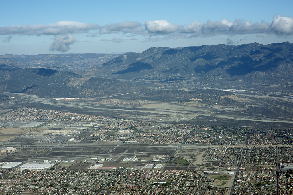
Aerial view of Devore, San Bernardino County, California by Michael Rymer
Aerial photograph of the San Andreas Fault (extending along the change in slope along the San Bernardino Mountains, in distance, to the right), Devore, San Bernardino County, California. Included in this view to the northwest are Lyttle Creek (in mid-ground), Cajon Wash (in mid-distance), and the Rialto Airport (left foreground). I-15 cuts diagonally across the left side of image to where it meets and joins I-215. This image shows the epicentral area of a recent swarm of earthquakes near Devore.

The background seems to burn all the time nowadays but is overdue for a big shake....
ReplyDelete